

TopographyWashington · Oregon · Montana
Survey Support, Civil 3D & Geospatial Services
Technical support for surveying, engineering, and construction firms in Washington, Oregon, and Montana.
Drawing index
Six connected service areas, from field observation through the finished record set.
S-01
Civil 3D Survey Drafting
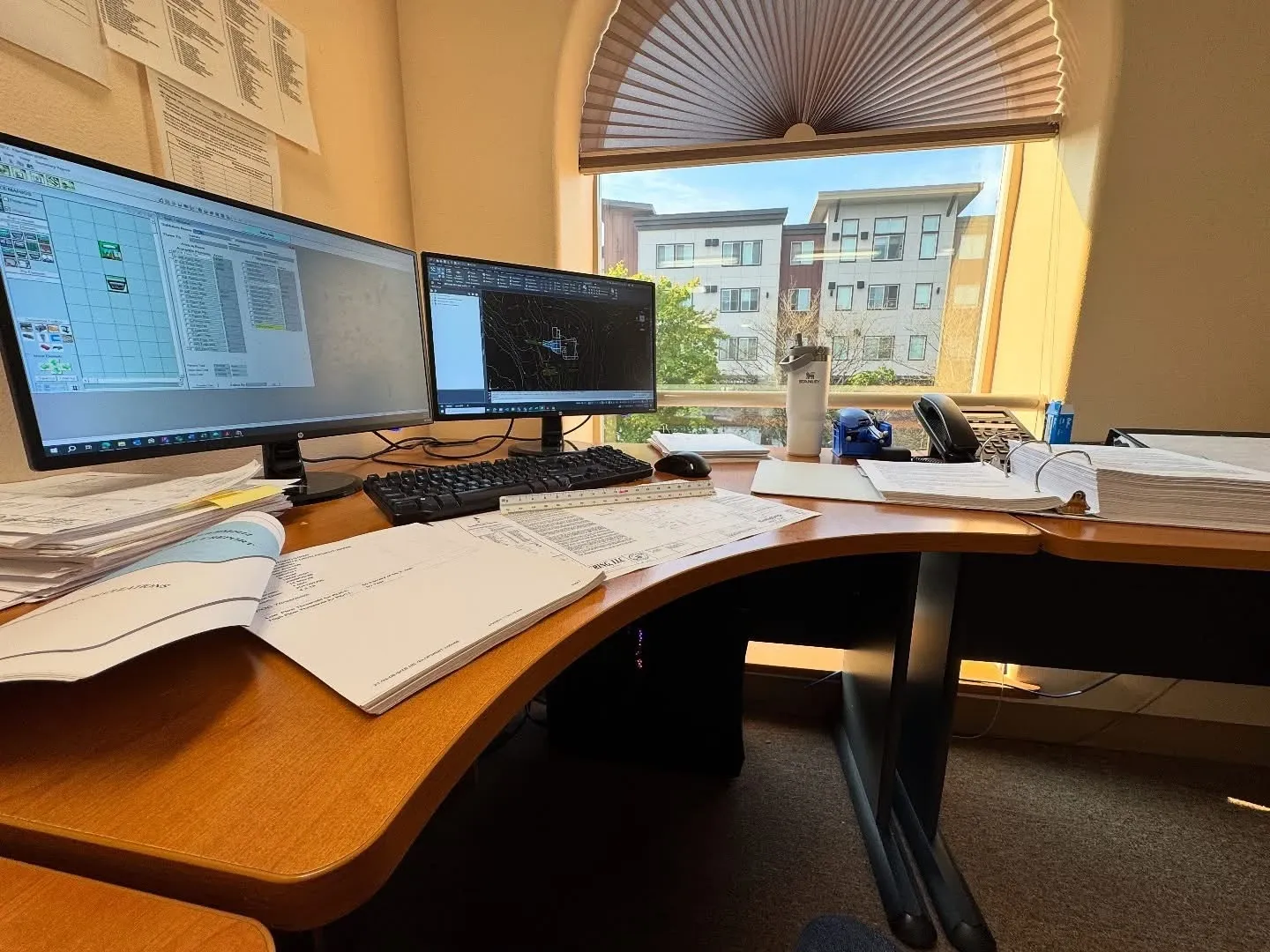
COGO point and field code processing, linework generation, and preparation of topographic drawings showing contours, elevations, and existing infrastructure.
- COGO point and field code processing
- Linework generation from coded field data
- Contour and elevation drafting
- Existing infrastructure shown on plan
S-02
Boundary, Parcel & Subdivision Drafting
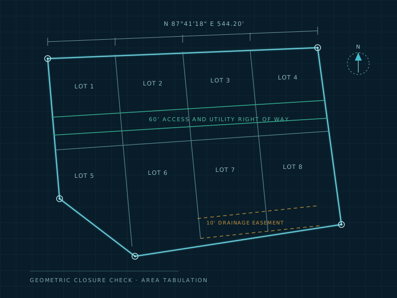
Drafting support for Boundary Surveys, Records of Survey, Plats, Short Plats, and Boundary Line Adjustments. Area calculations, geometric closure checks, and assistance with drafting legal descriptions and easement documentation.
- Boundary Surveys and Records of Survey
- Plats, Short Plats, and Boundary Line Adjustments
- Area calculations and geometric closure checks
- Legal descriptions and easement documentation
S-03
Terrain Modeling & Volume Calculations
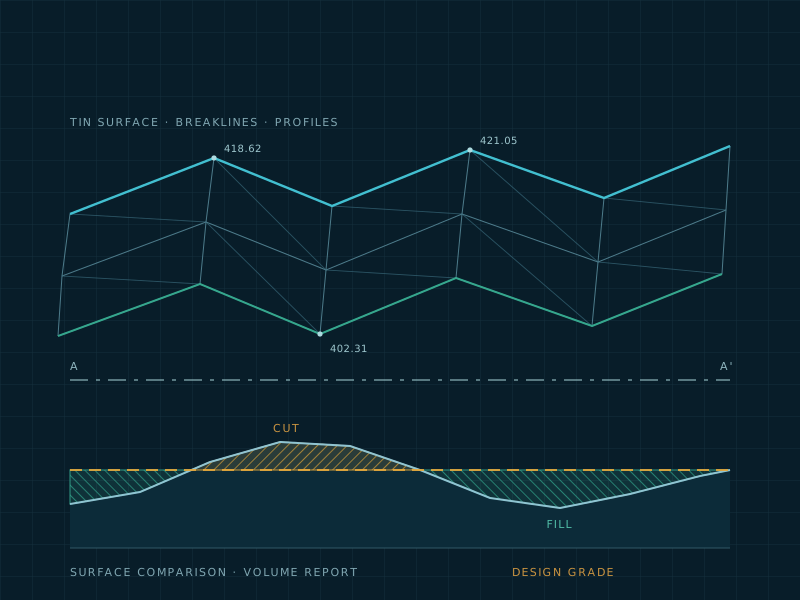
Development of TIN surfaces, breaklines, profiles, and cross sections. Cut-and-fill and stockpile volume calculations using surface comparisons.
- TIN surfaces and breaklines
- Profiles and cross sections
- Cut-and-fill quantities
- Stockpile volumes from surface comparisons
S-04
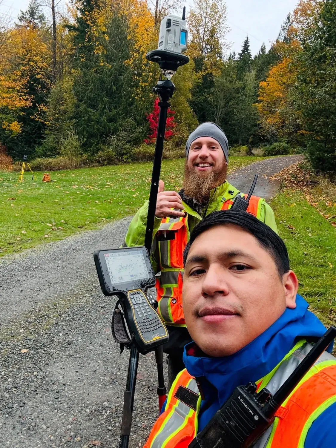
Survey Field Support
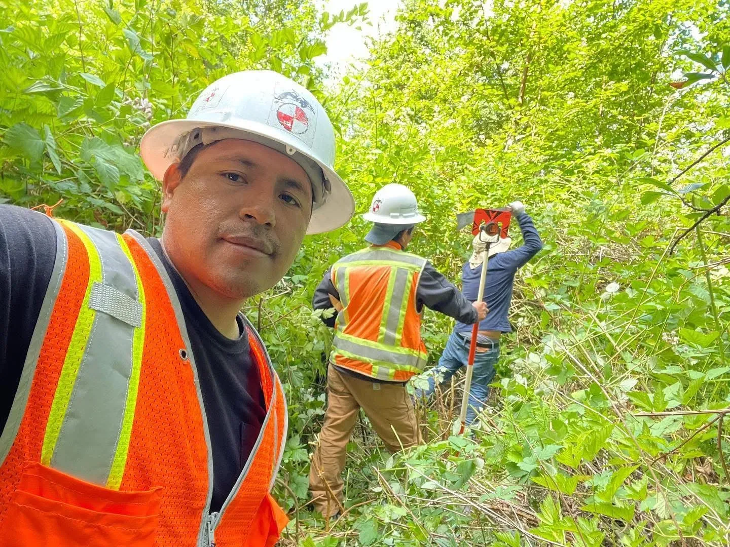
Data collection using GNSS RTK and total stations for topographic mapping, infrastructure documentation, and existing conditions surveys.
- GNSS RTK data collection
- Total station observations
- Topographic mapping
- Existing conditions and infrastructure documentation
S-05
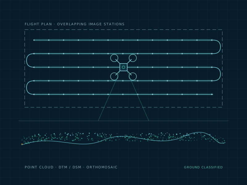
Drone Mapping & LiDAR
Aerial data acquisition and processing of imagery and LiDAR data to produce orthomosaics, point clouds, digital terrain models, and digital surface models.
- Aerial imagery and LiDAR acquisition
- Orthomosaic production
- Point cloud processing and classification
- Digital terrain and digital surface models
S-06
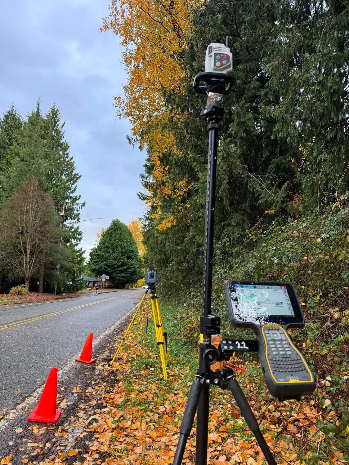
As-Built & Record Drawings
Preparation and revision of drawings using field measurements, construction markups, and project records to document completed improvements.
- Drawing preparation and revision
- Field measurements tied to the design set
- Construction markup incorporation
- Record documentation of completed improvements
Project-based support or ongoing collaboration.
Every deliverable is aligned with your firm’s CAD standards and project requirements, whether we pick up a single survey drawing or work alongside your team through the length of a project.
Related: Engineering, Beam, Architecture